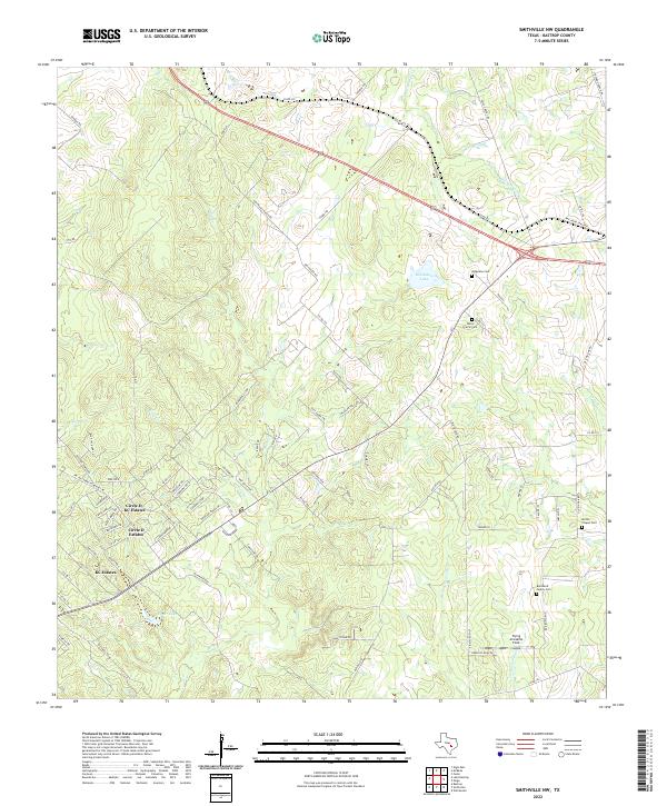
2022 Map of Smithville NW
USGS Topo · Published 2022About this map
The rolling Bastrop County terrain northwest of Smithville is defined by a network of creeks and residential developments including Circle D-KC Estates and KC Estates. These communities are situated amidst a landscape drained by Alum Cr and Price Cr, with smaller catchments like Egger Lake and Brockstein Lake punctuating the topography. The map reveals a deep sense of local genealogy through scattered burial grounds such as the Burkhardt Family Cem, Milton Chapel Cem, and Dixon Prairie Cem. Transportation is dominated by Highway 290 and a grid of rural routes like Old Potato RD, while the inclusion of Flying Armadillo Field marks a modern local landmark. The drainage patterns of Mid Springs Cr and the E Fork Gravelly Cr illustrate the hydrological character of this part of Central Texas.
Find a feature on this map
89 named features on this map. Tap any name to fly to it.
Don’t see what you’re looking for? This feature index may not catch every label — zoom into the map to look around manually.
Map Details
Editions of this 2022 Smithville NW Map
This is the sole edition of this map. No revisions or reprints were ever made.
Other maps of this area

1885 · Bastrop
USGS Topo · 1:125,000

1893 · Bastrop
USGS Topo · 1:125,000

1904 · Bastrop
USGS Topo · 1:125,000

1948 · Smithville
USGS Topo · 1:62,500

1948 · Elgin
USGS Topo · 1:62,500

1948 · Bastrop
USGS Topo · 1:62,500

1948 · Lexington
USGS Topo · 1:62,500

1950 · Lexington
USGS Topo · 1:62,500

1950 · Bastrop
USGS Topo · 1:62,500

1950 · Smithville
USGS Topo · 1:62,500