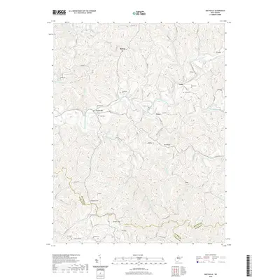
2019 Map of Smithville
USGS Topo · Published 2019About this map
Smithville serves as a central hub in this West Virginia landscape, situated where the South Fork Hughes River winds through a complex network of narrow valleys and high ridges. The settlement patterns follow the drainages and high ground, with established clusters at Goffs, Fonzo, and Mahone. The topographical data reveals the prominence of Bean Ridge and Campbell Hill, landmarks that define the local horizon.
Find a feature on this map
102 named features on this map. Tap any name to fly to it.
Don’t see what you’re looking for? This feature index may not catch every label — zoom into the map to look around manually.
Map Details
Editions of this 2019 Smithville Map
This is the sole edition of this map. No revisions or reprints were ever made.
Other maps of this area

1893 · Sutton
USGS Topo · 1:125,000

1906 · Holbrook
USGS Topo · 1:62,500

1906 · Glenville
USGS Topo · 1:62,500

1907 · Harrisville
USGS Topo · 1:62,500

1907 · Arnoldsburg
USGS Topo · 1:62,500

1924 · Harrisville
USGS Topo · 1:62,500

1924 · Holbrook
USGS Topo · 1:62,500

1925 · Glenville
USGS Topo · 1:62,500

1925 · Arnoldsburg
USGS Topo · 1:62,500

1926 · Harrisville
USGS Topo · 1:62,500