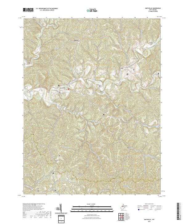
2023 Map of Smithville
USGS Topo · Published 2023About this map
Smithville sits at the confluence of the South Fork Hughes River and Cedar Run, serving as a central hub in this section of the Appalachian plateau. The landscape is defined by an intricate network of narrow ridges and winding waterways such as Leatherbark Creek, Indian Creek, and Yellow Creek. This terrain dictated the placement of small, isolated settlements like Goffs, Fonzo, and Mahone, which follow the valley floors or occupy small clearings on the heights.
Find a feature on this map
99 named features on this map. Tap any name to fly to it.
Don’t see what you’re looking for? This feature index may not catch every label — zoom into the map to look around manually.
Map Details
Editions of this 2023 Smithville Map
This is the sole edition of this map. No revisions or reprints were ever made.
Other maps of this area

1893 · Sutton
USGS Topo · 1:125,000

1906 · Holbrook
USGS Topo · 1:62,500

1906 · Glenville
USGS Topo · 1:62,500

1907 · Harrisville
USGS Topo · 1:62,500

1907 · Arnoldsburg
USGS Topo · 1:62,500

1924 · Harrisville
USGS Topo · 1:62,500

1924 · Holbrook
USGS Topo · 1:62,500

1925 · Glenville
USGS Topo · 1:62,500

1925 · Arnoldsburg
USGS Topo · 1:62,500

1926 · Harrisville
USGS Topo · 1:62,500