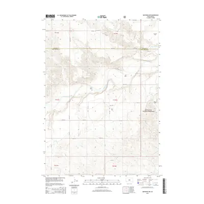
2015 Map of Smithwick NW
USGS Topo · Published 2015About this map
The Cheyenne River winds through this section of the western South Dakota plains, cutting a distinct path across a landscape defined by expansive drainage systems and wide plateaus. This 2015 survey reveals a terrain shaped by water and ranching, where the boundary between Custer Co and Fall River Co bisects the northern half of the map. The eastern portion is dominated by the Buffalo Gap National Grassland, a vast public expanse that contrasts with the surrounding agricultural and private lands.
Find a feature on this map
32 named features on this map. Tap any name to fly to it.
Don’t see what you’re looking for? This feature index may not catch every label — zoom into the map to look around manually.
Map Details
Editions of this 2015 Smithwick NW Map
This is the sole edition of this map. No revisions or reprints were ever made.
Other maps of this area

1894 · Hermosa
USGS Topo · 1:125,000

1896 · Oelrichs
USGS Topo · 1:125,000

1900 · Oelrichs
USGS Topo · 1:125,000

1901 · Hermosa
USGS Topo · 1:125,000

1950 · Buffalo Gap
USGS Topo · 1:24,000

1950 · Hot Springs SE
USGS Topo · 1:24,000

1951 · Fairburn SE
USGS Topo · 1:24,000

1951 · Smithwick NE
USGS Topo · 1:24,000

1951 · Smithwick NW
USGS Topo · 1:24,000

1955 · Hot Springs
USGS Topo · 1:250,000