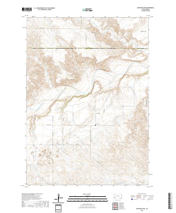
2021 Map of Smithwick NW
USGS Topo · Published 2021About this map
The Cheyenne River snakes through the high plains of southwestern South Dakota, cutting a wide path across the landscape near the border of Custer and Fall River counties. This 2021 survey reveals a vast, open rangeland defined by prominent plateaus and drainages, such as Harrison Flat and W G Flat. The area is sparsely populated, with long, straight ranch roads like Ring Neck Rd and Ballard Rd connecting isolated homesteads and pastures. Along W G Flat Loop, the W G Flats Cem serves as a small but significant marker of local heritage. Seasonal waterways like Lame Johnny Cr and Plumb Cr provide the primary drainage for the surrounding draws, including W G Draw and Iron Draw, which eventually feed into the major river system.
Find a feature on this map
37 named features on this map. Tap any name to fly to it.
Don’t see what you’re looking for? This feature index may not catch every label — zoom into the map to look around manually.
Map Details
Editions of this 2021 Smithwick NW Map
This is the sole edition of this map. No revisions or reprints were ever made.
Other maps of this area

1894 · Hermosa
USGS Topo · 1:125,000

1896 · Oelrichs
USGS Topo · 1:125,000

1900 · Oelrichs
USGS Topo · 1:125,000

1901 · Hermosa
USGS Topo · 1:125,000

1950 · Buffalo Gap
USGS Topo · 1:24,000

1950 · Hot Springs SE
USGS Topo · 1:24,000

1951 · Fairburn SE
USGS Topo · 1:24,000

1951 · Smithwick NE
USGS Topo · 1:24,000

1951 · Smithwick NW
USGS Topo · 1:24,000

1955 · Hot Springs
USGS Topo · 1:250,000