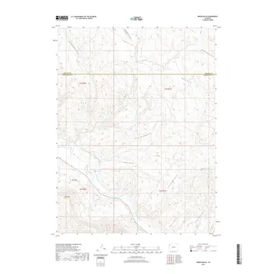
2019 Map of Smizer Gulch
USGS Topo · Published 2019About this map
White River drainage patterns and the arid dissected plateaus of the Piceance Basin define this corner of the Western Slope. The landscape is marked by a series of significant erosional features, including Smizer Gulch, Colorow Gulch, and Kissinger Gulch, which feed into the main river valley from the surrounding heights. Human intervention in this dry environment is evident through the Blair Ditch, a water conveyance system likely supporting agricultural or ranching activities near the river. High points such as Blair Mtn and Blair Mesa offer prominent landmarks overlooking the complex network of draws and washes like Sagebrush Draw and Crooked Wash. The map also captures the political boundary between Moffat and Rio Blanco counties, providing a contemporary view of this remote intersection of land management and natural topography.
Find a feature on this map
22 named features on this map. Tap any name to fly to it.
Don’t see what you’re looking for? This feature index may not catch every label — zoom into the map to look around manually.
Map Details
Editions of this 2019 Smizer Gulch Map
This is the sole edition of this map. No revisions or reprints were ever made.
Other maps of this area

1907 · White River
USGS Topo · 1:125,000

1910 · White River
USGS Topo · 1:125,000

1954 · Vernal
USGS Topo · 1:250,000

1958 · Vernal
USGS Topo · 1:250,000

1958 · Citadel Plateau
USGS Topo · 1:62,500

1960 · Vernal
USGS Topo · 1:250,000

1960 · Elk Springs
USGS Topo · 1:62,500
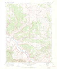
1966 · Smizer Gulch
USGS Topo · 1:24,000
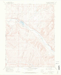
1966 · White River City
USGS Topo · 1:24,000
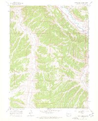
1966 · Barcus Creek SE
USGS Topo · 1:24,000