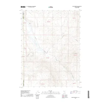
2018 Map of Smoke Creek Ranch
USGS Topo · Published 2018About this map
Smoke Creek Ranch stands at the heart of this high-desert landscape along the border of Nevada and California. The terrain is defined by the drainage systems of Smoke Creek and its tributaries, including Rush Creek and its southern fork, which flow through the arid basins of northwestern Washoe County. This area represents the intersection of historic ranching operations and the vast open lands of the Great Basin, where water sources like Jenkins Troughs remain critical landmarks for navigation and land use. To the east, the topography rises toward the prominent peak of Burro Mountain. Transportation in this remote corner of the state relies on a network of unpaved corridors, notably Smoke Creek Rd and Burro Mountain Rd, which follow the natural contours of the desert flats and ridges.
Find a feature on this map
20 named features on this map. Tap any name to fly to it.
Don’t see what you’re looking for? This feature index may not catch every label — zoom into the map to look around manually.
Map Details
Editions of this 2018 Smoke Creek Ranch Map
This is the sole edition of this map. No revisions or reprints were ever made.
Other maps of this area

1886 · Honey Lake
USGS Topo · 1:250,000

1886 · Granite Range
USGS Topo · 1:250,000

1891 · Honey Lake
USGS Topo · 1:250,000

1893 · Honey Lake
USGS Topo · 1:250,000

1894 · Granite Range
USGS Topo · 1:250,000

1954 · Wendel
USGS Topo · 1:62,500

1954 · Shinn Mountain
USGS Topo · 1:62,500

1955 · Westwood
USGS Topo · 1:250,000

1955 · Lovelock
USGS Topo · 1:250,000

1958 · Westwood
USGS Topo · 1:250,000