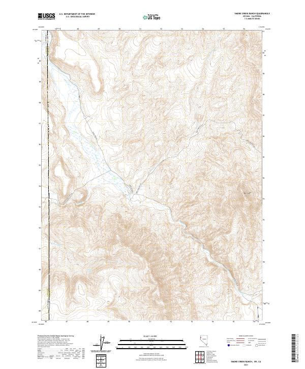
2021 Map of Smoke Creek Ranch
USGS Topo · Published 2021About this map
The high desert borderlands between Lassen County, California, and Washoe County, Nevada, are defined by the winding course of Smoke Cr and the prominent heights of Burro Mtn. This arid landscape, documented in 2021, shows a network of remote ranching roads including Smoke Creek Rd and Smokey Creek Ranch Rd that track the seasonal drainages. The survival of livestock in this region is evidenced by features like Jenkins Troughs, which provide critical water points away from the main creek beds. Drainages such as Rush Cr and its S Fork Rush Cr carve through the basin and range topography, illustrating the hydraulic patterns of the Smoke Creek Desert's western edge. The map captures the enduring character of this isolated rangeland, where the state line is one of the few formal divisions across the terrain.
Find a feature on this map
18 named features on this map. Tap any name to fly to it.
Don’t see what you’re looking for? This feature index may not catch every label — zoom into the map to look around manually.
Map Details
Editions of this 2021 Smoke Creek Ranch Map
This is the sole edition of this map. No revisions or reprints were ever made.
Other maps of this area

1886 · Honey Lake
USGS Topo · 1:250,000

1886 · Granite Range
USGS Topo · 1:250,000

1891 · Honey Lake
USGS Topo · 1:250,000

1893 · Honey Lake
USGS Topo · 1:250,000

1894 · Granite Range
USGS Topo · 1:250,000

1954 · Wendel
USGS Topo · 1:62,500

1954 · Shinn Mountain
USGS Topo · 1:62,500

1955 · Westwood
USGS Topo · 1:250,000

1955 · Lovelock
USGS Topo · 1:250,000

1958 · Westwood
USGS Topo · 1:250,000