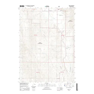
2015 Map of Smoot
USGS Topo · Published 2015About this map
The settlement of Smoot sits at the northern edge of this high-altitude landscape, where the southern reaches of Star Valley meet the rising slopes of the Gannett Hills. This portion of the Bridger National Forest is defined by a dense network of mountain drainages, including Cottonwood Creek and the headwaters of the Salt River. Historically significant travel ways cross the terrain, most notably the Lander Cutoff Nat Historic Trl, which provided an alternative route for emigrants on the Oregon Trail. Near the small community of Forest Dell, the geography transitions toward the Salt River Pass, a critical topographic notch in the southern valley. Modern recreational use is evidenced by established paths such as the Salt River Pass Ski Trail and the Fish Creek Xc Ski Trail, which weave through the complex ridges and creek bottoms south of the Smoot Cemetery.
Find a feature on this map
44 named features on this map. Tap any name to fly to it.
Don’t see what you’re looking for? This feature index may not catch every label — zoom into the map to look around manually.
Map Details
Editions of this 2015 Smoot Map
This is the sole edition of this map. No revisions or reprints were ever made.
Other maps of this area

1909 · Montpelier
USGS Topo · 1:125,000

1911 · Montpelier
USGS Topo · 1:125,000

1915 · Crow Creek
USGS Topo · 1:62,500

1921 · Afton
USGS Topo · 1:125,000

1936 · Cokeville
USGS Topo · 1:96,000

1942 · Cokeville
USGS Topo · 1:125,000

1955 · Preston
USGS Topo · 1:250,000

1958 · Preston
USGS Topo · 1:250,000

1962 · Preston
USGS Topo · 1:250,000

1967 · Porcupine Creek
USGS Topo · 1:24,000