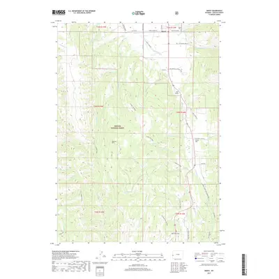
2017 Map of Smoot
USGS Topo · Published 2017About this map
Star Valley provides the primary setting for this high-altitude landscape where the Salt River winds northward through the mountain basins of western Wyoming. The community of Smoot serves as a local hub near the Smoot Cem, situated along the Smoot-Afton Rd as it transitions from the valley floor into the steep terrain of the Bridger National Forest. Historically significant routes like the Lander Cutoff Nat Historic Trl trace through the eastern slopes, marking the path of 19th-century westward migration.
Find a feature on this map
48 named features on this map. Tap any name to fly to it.
Don’t see what you’re looking for? This feature index may not catch every label — zoom into the map to look around manually.
Map Details
Editions of this 2017 Smoot Map
This is the sole edition of this map. No revisions or reprints were ever made.
Other maps of this area

1909 · Montpelier
USGS Topo · 1:125,000

1911 · Montpelier
USGS Topo · 1:125,000

1915 · Crow Creek
USGS Topo · 1:62,500

1921 · Afton
USGS Topo · 1:125,000

1936 · Cokeville
USGS Topo · 1:96,000

1942 · Cokeville
USGS Topo · 1:125,000

1955 · Preston
USGS Topo · 1:250,000

1958 · Preston
USGS Topo · 1:250,000

1962 · Preston
USGS Topo · 1:250,000

1967 · Porcupine Creek
USGS Topo · 1:24,000