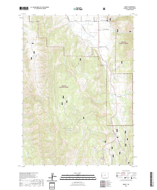
2021 Map of Smoot
USGS Topo · Published 2021About this map
Star Valley opens into the high country of the Gannett Hills on this detailed topographic survey, centered on the community of Smoot. The settlement pattern follows the Salt River and its tributaries, where local life is anchored by the Smoot Cem and connections like Co RD 140. A significant historical corridor is preserved here via the Lander Cutoff Nat Historic Trl Trl, which traverses the eastern edge of the map, marking a legacy of westward migration. Much of the western and southern terrain is defined by the Bridger National Forest, where a network of recreational and historic paths, including the State Line Trl and Salt River Pass-Xc Ski Trl, cross the high ridges. This map also identifies seasonal and specialized locations such as Camp Many Stars and the notable Salt River Pass, illustrating the area's dual character as both a mountain crossing and a ranching valley.
Find a feature on this map
50 named features on this map. Tap any name to fly to it.
Don’t see what you’re looking for? This feature index may not catch every label — zoom into the map to look around manually.
Map Details
Editions of this 2021 Smoot Map
This is the sole edition of this map. No revisions or reprints were ever made.
Other maps of this area

1909 · Montpelier
USGS Topo · 1:125,000

1911 · Montpelier
USGS Topo · 1:125,000

1915 · Crow Creek
USGS Topo · 1:62,500

1921 · Afton
USGS Topo · 1:125,000

1936 · Cokeville
USGS Topo · 1:96,000

1942 · Cokeville
USGS Topo · 1:125,000

1955 · Preston
USGS Topo · 1:250,000

1958 · Preston
USGS Topo · 1:250,000

1962 · Preston
USGS Topo · 1:250,000

1967 · Porcupine Creek
USGS Topo · 1:24,000