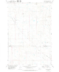
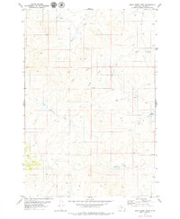
1979 Map of Snake Butte
USGS Topo · Published 1980About this map
Spring Creek Sch sits as a lone marker of local education in this sparse landscape along the Powderville Road. The terrain is defined by its namesake landmarks, including the prominent Snake Butte, Chimney Butte, and Twin Buttes, which serve as natural signposts across the expansive drainage basins of Spring Creek and Meadow Creek. This map illustrates the transition from Custer to Powder River counties, showing a landscape punctuated by utility and infrastructure features like Wells, a Gravel Pit, and various Drill Holes. The network of watercourses, including Butte Creek and Foster Creek, underscores the geographic isolation and the importance of localized water sources in this region of eastern Montana during the late 1970s.
Find a feature on this map
14 named features on this map. Tap any name to fly to it.
Don’t see what you’re looking for? This feature index may not catch every label — zoom into the map to look around manually.
Map Details
Editions of this 1979 Snake Butte Map
This is the sole edition of this map. No revisions or reprints were ever made.
Other maps of this area

1954 · Ekalaka
USGS Topo · 1:250,000

1956 · Ekalaka
USGS Topo · 1:250,000

1958 · Ekalaka
USGS Topo · 1:250,000

1965 · Ekalaka
USGS Topo · 1:250,000
1973 · Maxwell Butte
USGS Topo · 1:24,000

1973 · Cross S School
USGS Topo · 1:24,000
1973 · Rattlesnake Hill
USGS Topo · 1:24,000
1979 · Mills Creek East
USGS Topo · 1:24,000

1979 · Powderville
USGS Topo · 1:24,000
1979 · Mills Creek West
USGS Topo · 1:24,000