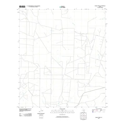
2010 Map of Snake Creek
USGS Topo · Published 2010About this map
Snake Creek and its associated drainage networks define this rural landscape in Frio County, where a pattern of sprawling ranches and agricultural fields is etched into the South Texas terrain. The map captures the hydrological layout of the region, featuring several prominent watercourses including Cibolo Creek, Medio Creek, and Elm Creek. These seasonal streams dictate the orientation of the few established local corridors, such as Hugo Rd and Hurt Rd, which serve as the primary conduits between isolated property homesteads. Near the northern border, Big Hollow Creek and Espio Creek intersect a largely undeveloped grid of survey lines, illustrating the persistence of large-scale land holdings typical of this part of the state in the early 21st century.
Find a feature on this map
11 named features on this map. Tap any name to fly to it.
Don’t see what you’re looking for? This feature index may not catch every label — zoom into the map to look around manually.
Map Details
Editions of this 2010 Snake Creek Map
This is the sole edition of this map. No revisions or reprints were ever made.
Other maps of this area

1939 · Big Wells
USGS Topo · 1:62,500

1942 · Divot
USGS Topo · 1:62,500

1953 · Crystal City
USGS Topo · 1:250,000

1955 · Crystal City
USGS Topo · 1:250,000

1956 · Woodward
USGS Topo · 1:62,500

1956 · Divot
USGS Topo · 1:62,500

1957 · Batesville
USGS Topo · 1:62,500

1961 · Crystal City
USGS Topo · 1:250,000

1968 · Crystal City
USGS Topo · 1:250,000
1972 · Big Wells
USGS Topo · 1:24,000