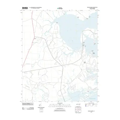
2010 Map of Sneads Ferry
USGS Topo · Published 2010About this map
Sneads Ferry serves as the central hub of this coastal survey, where the New River widens significantly before reaching the Atlantic Ocean. The landscape is defined by its maritime infrastructure, including several historic waterfront access points such as Stones Landing, Foys Landing, and Fulcher Landing. The presence of the Sneads Ferry Bridge at Pollocks Point and Ferry Point highlights the long-standing importance of this crossing for regional connectivity near Dixon.
Find a feature on this map
49 named features on this map. Tap any name to fly to it.
Don’t see what you’re looking for? This feature index may not catch every label — zoom into the map to look around manually.
Map Details
Editions of this 2010 Sneads Ferry Map
This is the sole edition of this map. No revisions or reprints were ever made.
Other maps of this area

1942 · Spicer Bay
USGS Topo · 1:62,500

1942 · Topsail
USGS Topo · 1:62,500

1948 · Maple Hill
USGS Topo · 1:62,500

1948 · Topsail
USGS Topo · 1:62,500

1948 · New River
USGS Topo · 1:62,500

1952 · Camp Lejeune
USGS Topo · 1:24,000

1952 · Jacksonville South
USGS Topo · 1:24,000

1952 · Spicer Bay
USGS Topo · 1:24,000

1952 · New River Inlet
USGS Topo · 1:24,000

1952 · Sneads Ferry
USGS Topo · 1:24,000