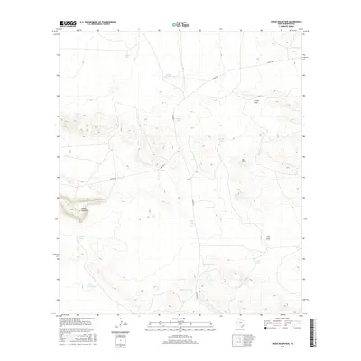
2016 Map of Sneed Mountain
USGS Topo · Published 2016About this map
Sneed Mountain stands as a prominent landmark in this desert landscape of Hudspeth County, where survival has long depended on the management of intermittent water. The map reveals an intricate network of livestock water sources, such as Owen Tank, Dagger Tank, and Price Tank, which are essential features for ranching operations in this arid region. These engineered catchments are often the only reliable points of interest along the drainage routes of Collier Draw and Cave Draw.
Find a feature on this map
17 named features on this map. Tap any name to fly to it.
Don’t see what you’re looking for? This feature index may not catch every label — zoom into the map to look around manually.
Map Details
Editions of this 2016 Sneed Mountain Map
This is the sole edition of this map. No revisions or reprints were ever made.
Other maps of this area

1895 · Sierra Blanca
USGS Topo · 1:125,000

1906 · Van Horn
USGS Topo · 1:125,000

1954 · Van Horn
USGS Topo · 1:250,000

1958 · Van Horn
USGS Topo · 1:250,000
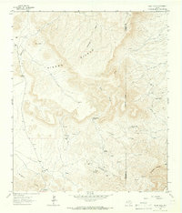
1964 · Sheep Peak
USGS Topo · 1:24,000

1964 · Dome Peak
USGS Topo · 1:24,000
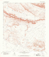
1964 · Bean Hills
USGS Topo · 1:24,000

1973 · Norton Mesa
USGS Topo · 1:24,000

1973 · Sneed Mountain NE
USGS Topo · 1:24,000

1973 · Apache Peak
USGS Topo · 1:24,000