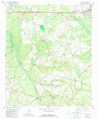
1979 Map of Snelling
USGS Topo · Published 1989About this map
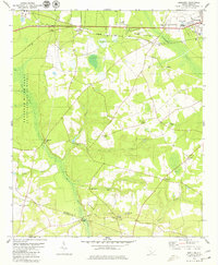
Snelling and the surrounding Barnwell County countryside appear during a period of transition, where traditional rural life intersects with modern infrastructure. The landscape is defined by the branching waters of the Salkehatchie River and Lower Three Runs, creating a network of creeks that supported early industry such as Patterson Mill. Small communities and family-named locations like Gantts, Bodiford, and Owens Crossroad anchor the map, while local spiritual life is evidenced by Red Branch Ch, Union Ch, and Sweetwater Grove Cem. To the west, the presence of the Savannah River Plant marks a significant shift in land use, showing how federal energy projects reshaped the geography. For genealogists and local historians, the inclusion of remote landmarks like Stinson Bridge and the Holmes Cemetery provides essential clues to the region's 20th-century social fabric.
Find a feature on this map
32 named features on this map. Tap any name to fly to it.
Don’t see what you’re looking for? This feature index may not catch every label — zoom into the map to look around manually.
Map Details
Editions of this 1979 Snelling Map
2 editions found
Other maps of this area

1919 · Allendale
USGS Topo · 1:62,500

1920 · Ellenton
USGS Topo · 1:48,000

1920 · Talatha
USGS Topo · 1:48,000

1921 · Talatha
USGS Topo · 1:62,500

1921 · Ellenton
USGS Topo · 1:62,500

1923 · Williston
USGS Topo · 1:48,000

1927 · Williston
USGS Topo · 1:62,500

1943 · Allendale
USGS Topo · 1:62,500

1943 · Augusta East
USGS Topo · 1:125,000

1943 · Williston
USGS Topo · 1:62,500