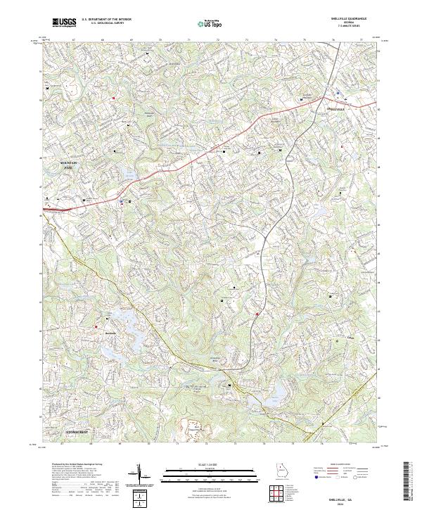
2024 Map of Snellville
USGS Topo · Published 2024About this map
Snellville and its surrounding suburban landscape are defined by a complex network of residential developments and remnant family landmarks. The Yellow River winds through the center of the quadrangle, passing through Britt Shoals and around a prominent Horseshoe Bend. For those researching local lineages, the map identifies numerous small burial grounds including the Lee - Nash Burying Ground, Andrews Cem, and the Rawlins Clack Cem. High points like Snellville Mountain and Lanier Mountain rise above the drainage basins of Stone Mountain Creek and No Business Creek. The presence of small aviation facilities such as LT World Airport and Lenora Airport suggests a modern era of localized transportation tucked between the growing communities of Mountain Park and Stonecrest.
Find a feature on this map
61 named features on this map. Tap any name to fly to it.
Don’t see what you’re looking for? This feature index may not catch every label — zoom into the map to look around manually.
Map Details
Editions of this 2024 Snellville Map
This is the sole edition of this map. No revisions or reprints were ever made.
Other maps of this area

1888 · Atlanta
USGS Topo · 1:125,000

1890 · Atlanta
USGS Topo · 1:125,000

1892 · Atlanta
USGS Topo · 1:125,000

1895 · Atlanta
USGS Topo · 1:125,000

1896 · Monroe
USGS Topo · 1:125,000

1953 · Atlanta
USGS Topo · 1:250,000

1953 · Athens
USGS Topo · 1:250,000

1956 · Stone Mountain
USGS Topo · 1:24,000

1956 · Snellville
USGS Topo · 1:24,000
1956 · Norcross
USGS Topo · 1:24,000