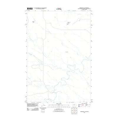
2011 Map of Snider Hill
USGS Topo · Published 2011About this map
Snider Hill and Monument Butte dominate the landscape in this corner of the High Plains, where the drainage systems of the Montana and Dakota borderlands converge. The terrain is defined by a complex network of seasonal watercourses, including Boxelder Creek and its various tributaries like Coal Bank Creek and Horse Creek. This survey captures the rural infrastructure of the early 21st century, illustrating how ranching and land management shaped the area through features like the Meccage Number 3 Dam. Human presence is minimal, marked primarily by isolated ranch roads such as Webster Rd and Cox Rd, which traverse the open range between the northern and southern forks of the local creek systems. This map is particularly useful for understanding the hydrography of this tri-state boundary region before further modern developments altered the water-scarce landscape.
Find a feature on this map
13 named features on this map. Tap any name to fly to it.
Don’t see what you’re looking for? This feature index may not catch every label — zoom into the map to look around manually.
Map Details
Editions of this 2011 Snider Hill Map
This is the sole edition of this map. No revisions or reprints were ever made.
Other maps of this area

1935 · Buffalo
USGS Topo · 1:125,000

1953 · Miles City
USGS Topo · 1:250,000

1953 · Dickinson
USGS Topo · 1:250,000

1954 · Lemmon
USGS Topo · 1:250,000

1954 · Ekalaka
USGS Topo · 1:250,000

1956 · Ekalaka
USGS Topo · 1:250,000

1957 · Dickinson
USGS Topo · 1:250,000

1957 · Lemmon
USGS Topo · 1:250,000

1957 · Miles City
USGS Topo · 1:250,000

1958 · Miles City
USGS Topo · 1:250,000