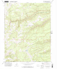
1973 Map of Snipe Mountain
USGS Topo · Published 1975About this map
Uncompahgre National Forest contains a complex network of high-altitude drainages and ridges, defined here by the sharp drops of the Escalante Breaks. The seasonal nature of land use in the 1960s and 1970s is evident in the presence of several established livestock outposts, including Blumberg Camp, Musser Cow Camp, and Calhoun Cow Camp. These camps, connected by a series of primitive trails and jeep tracks, illustrate the long-standing ranching traditions on the Western Slope. The landscape is further carved by the North Fork Escalante Creek and Kelso Creek, which descend from prominent heights like Snipe Mountain and Long Point Mountain. Toward the southern edge of the survey, the terrain levels into distinct features such as North Love Mesa Bench and Beef Pasture Point, where the border between Mesa and Montrose counties follows the natural topography.
Find a feature on this map
37 named features on this map. Tap any name to fly to it.
Don’t see what you’re looking for? This feature index may not catch every label — zoom into the map to look around manually.
Map Details
Editions of this 1973 Snipe Mountain Map
3 editions found
Other maps of this area

1916 · Paradox Valley
USGS Topo · 1:125,000

1922 · Paradox Valley
USGS Topo · 1:125,000

1949 · Atkinson Creek
USGS Topo · 1:24,000

1950 · Atkinson Creek
USGS Topo · 1:24,000

1956 · Moab
USGS Topo · 1:250,000

1959 · Moab
USGS Topo · 1:250,000

1960 · Moab
USGS Topo · 1:250,000
1960 · Atkinson Creek
USGS Topo · 1:24,000
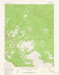
1960 · Nucla
USGS Topo · 1:62,500
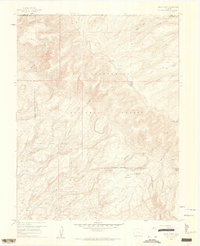
1960 · Windy Point
USGS Topo · 1:24,000