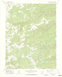
1973 Map of Snipe Mountain
USGS Topo · Published 1975About this map
Uncompahgre National Forest encompasses this high-elevation landscape in the early 1970s, defined by its steep plateaus and seasonal livestock operations. Remote outposts like Blumberg Camp and Musser Cow Camp are scattered across the terrain, reflecting the region's historical reliance on summer grazing ranges. The topography is dominated by massive landforms such as Kelso Mesa and Long Point Mountain, which overlook deep drainages. A network of primitive ways and jeep trails provides the only access into the Escalante Breaks and the headwaters of the North Fork Escalante Creek. This survey captures the working character of the Mesa County backcountry, where features like Beaver Dam Reservoir and Calhoun Cow Camp mark the small human footprint in a territory shaped by dramatic vertical relief and high-country benches.
Find a feature on this map
29 named features on this map. Tap any name to fly to it.
Don’t see what you’re looking for? This feature index may not catch every label — zoom into the map to look around manually.
Map Details
Editions of this 1973 Snipe Mountain Map
3 editions found
Other maps of this area

1916 · Paradox Valley
USGS Topo · 1:125,000

1922 · Paradox Valley
USGS Topo · 1:125,000

1949 · Atkinson Creek
USGS Topo · 1:24,000

1950 · Atkinson Creek
USGS Topo · 1:24,000

1956 · Moab
USGS Topo · 1:250,000

1959 · Moab
USGS Topo · 1:250,000

1960 · Moab
USGS Topo · 1:250,000
1960 · Atkinson Creek
USGS Topo · 1:24,000
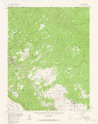
1960 · Nucla
USGS Topo · 1:62,500
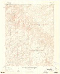
1960 · Windy Point
USGS Topo · 1:24,000