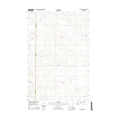
2014 Map of Snoose Creek
USGS Topo · Published 2014About this map
Tennessee Flat sits at the heart of this Central Montana landscape, marking a prominent level bench above the deeply incised drainage systems of the Musselshell River basin. This 2014 survey delineates the boundary between Fergus and Petroleum counties, a line that bisects a network of ephemeral streams and local ranch roads. The drainage pattern is the dominant physical characteristic, with Yellow Water Cr and its N Fork carving through the center, while Elk Cr and Snoose Cr define the northern and southern reaches.
Find a feature on this map
18 named features on this map. Tap any name to fly to it.
Don’t see what you’re looking for? This feature index may not catch every label — zoom into the map to look around manually.
Map Details
Editions of this 2014 Snoose Creek Map
This is the sole edition of this map. No revisions or reprints were ever made.
Other maps of this area

1954 · Roundup
USGS Topo · 1:250,000

1954 · Lewistown
USGS Topo · 1:250,000

1958 · Roundup
USGS Topo · 1:250,000

1959 · Lewistown
USGS Topo · 1:250,000

1986 · Snoose Creek
USGS Topo · 1:24,000

1986 · Briggs Coulee
USGS Topo · 1:24,000

1986 · Pike Creek Hills West
USGS Topo · 1:24,000

1986 · Flatwillow
USGS Topo · 1:24,000

1986 · Pike Creek Hills East
USGS Topo · 1:24,000

1986 · Milk Springs
USGS Topo · 1:24,000