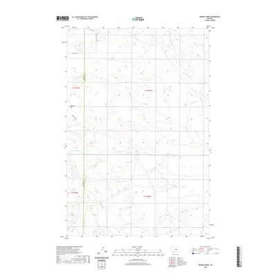
2020 Map of Snoose Creek
USGS Topo · Published 2020About this map
Tennessee Flat sits at the heart of this high-plains landscape where the boundary of Fergus and Petroleum counties divides the terrain. This 2020 survey illustrates a pastoral network of drainage systems and ranch roads defined by the branching reaches of Yellow Water Cr and its northern fork. The map records a modern configuration of land management, where local transit relies on established routes like Yellow Water Rd and Elk Creek Rd to navigate the undulating sections between the watercourses.
Find a feature on this map
15 named features on this map. Tap any name to fly to it.
Don’t see what you’re looking for? This feature index may not catch every label — zoom into the map to look around manually.
Map Details
Editions of this 2020 Snoose Creek Map
This is the sole edition of this map. No revisions or reprints were ever made.
Other maps of this area

1954 · Roundup
USGS Topo · 1:250,000

1954 · Lewistown
USGS Topo · 1:250,000

1958 · Roundup
USGS Topo · 1:250,000

1959 · Lewistown
USGS Topo · 1:250,000

1986 · Snoose Creek
USGS Topo · 1:24,000

1986 · Briggs Coulee
USGS Topo · 1:24,000

1986 · Pike Creek Hills West
USGS Topo · 1:24,000

1986 · Flatwillow
USGS Topo · 1:24,000

1986 · Pike Creek Hills East
USGS Topo · 1:24,000

1986 · Milk Springs
USGS Topo · 1:24,000