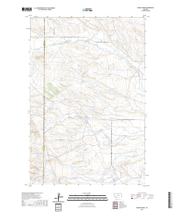
2024 Map of Snoose Creek
USGS Topo · Published 2024About this map
War Horse National Wildlife Refuge anchors the southeastern corner of this central Montana landscape, where the boundary between Fergus and Petroleum counties divides a terrain defined by intermittent drainage systems and high plateau ridges. The area is dominated by the watershed of Yellow Water Creek, which receives the North Fork Yellow Water Creek as it moves eastward across the central portion of the sheet. To the south, Bender Creek and Snoose Creek carve through the foothills, while the northern reaches are drained by the winding course of Elk Creek. Human infrastructure is sparse, restricted primarily to the remote transportation corridors of Double S Rd and Double S Cutoff, reflecting the ranching and wildlife preservation character of this isolated Montana territory.
Find a feature on this map
13 named features on this map. Tap any name to fly to it.
Don’t see what you’re looking for? This feature index may not catch every label — zoom into the map to look around manually.
Map Details
Editions of this 2024 Snoose Creek Map
This is the sole edition of this map. No revisions or reprints were ever made.
Other maps of this area

1954 · Roundup
USGS Topo · 1:250,000

1954 · Lewistown
USGS Topo · 1:250,000

1958 · Roundup
USGS Topo · 1:250,000

1959 · Lewistown
USGS Topo · 1:250,000

1986 · Snoose Creek
USGS Topo · 1:24,000

1986 · Briggs Coulee
USGS Topo · 1:24,000

1986 · Pike Creek Hills West
USGS Topo · 1:24,000

1986 · Flatwillow
USGS Topo · 1:24,000

1986 · Pike Creek Hills East
USGS Topo · 1:24,000

1986 · Milk Springs
USGS Topo · 1:24,000