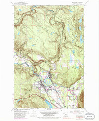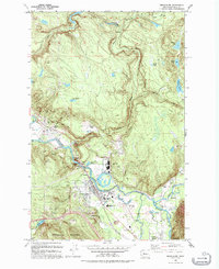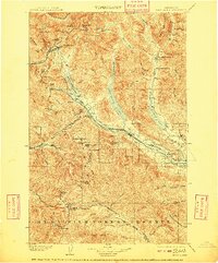
1903 Map of Snoqualmie
USGS Topo · Published 1909About this map
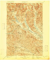
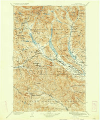
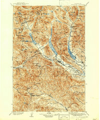
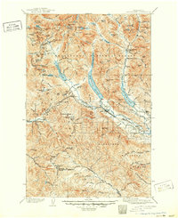
The Northern Pacific railroad cuts a vital corridor through the Cascades on this 1903 survey, transitioning from the high mountains at Stampede Tunnel down toward the Yakima River valley. This era of transit is defined by high-altitude crossings like Snoqualmie Pass and Naches Pass, which served as the primary conduits for trade and movement between the Puget Sound region and the interior. The landscape is dominated by massive alpine water bodies, including Keechelus Lake and Kachess Lake, which sit within the sprawling Mt. Rainier Forest Reserve. Small railroad settlements and mining outposts such as Lester, Martin, and Ronald dot the line, representing the early industrial footprint in a region of extreme vertical relief. The map meticulously documents the drainage patterns of the Middle Fork Snoqualmie River and various creeks that would later become critical to the state's water and power infrastructure.
Find a feature on this map
93 named features on this map. Tap any name to fly to it.
Don’t see what you’re looking for? This feature index may not catch every label — zoom into the map to look around manually.
Map Details
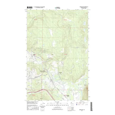
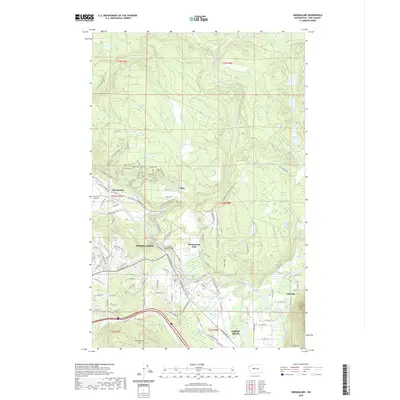
Editions of this 1903 Snoqualmie Map
6 editions found

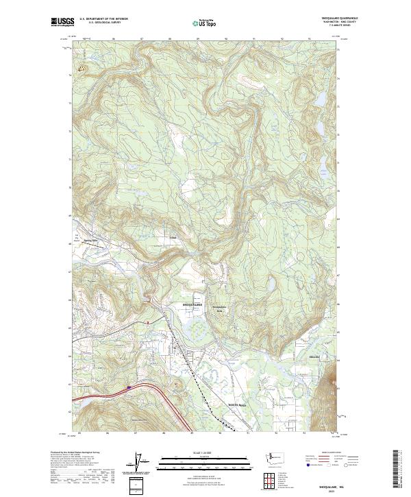
Historical Maps of Cle Elum Through Time
8 maps found