Loading...
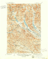
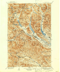
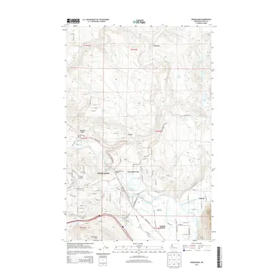
Loading map...1903 Map of Snoqualmie
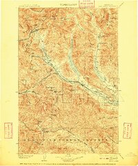
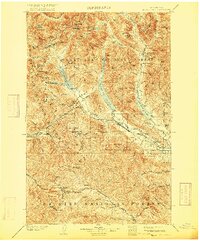
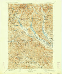
USGS Topo · Published 1950About this map
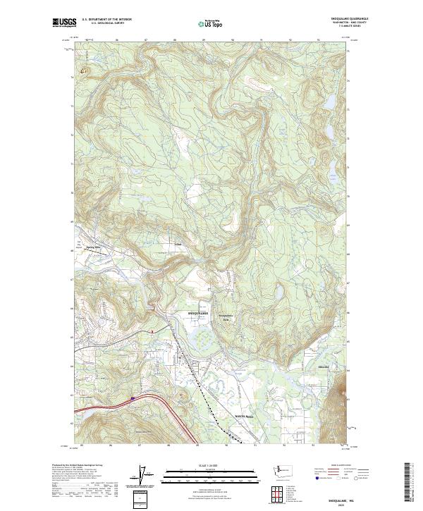
The Northern Pacific RR carves a critical path through this high mountain corridor, dominated by the engineering feat of the Stampede Tunnel. Surveyed at the turn of the century, the landscape is defined by the logistics of transcontinental rail travel, with small stations and settlements like Lester, Stampede, and Borup serving as vital mountain outposts. The map documents a time when access to these peaks was almost entirely dependent on the steel rails threading through Stampede Pass and along the shores of Keechelus Lake.
Find a feature on this map
158 named features on this map. Tap any name to fly to it.
Don’t see what you’re looking for? This feature index may not catch every label — zoom into the map to look around manually.
Map Details
Date Portrayed1903
Date Published1950
PublisherU.S. Geological Survey
Map TypeTopographic
Scale1:125,000
Physical Dimensions17.1 x 20.9 inches
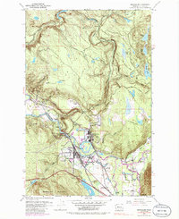
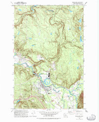
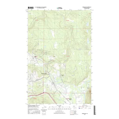
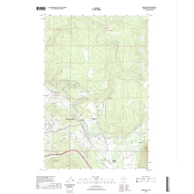
Editions of this 1903 Snoqualmie Map
6 editions found

Historical Maps of Cle Elum Through Time
8 maps found
Featured Locations
Source Details
SourceU.S. Geological Survey
CopyrightPublic Domain