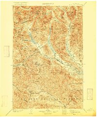
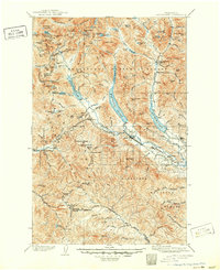
1903 Map of Snoqualmie
USGS Topo · Published 1916About this map
The Northern Pacific Railroad defines the industrial footprint of this high Cascade landscape, shown here at the start of the twentieth century. The line pierces the crest via the Stampede Tunnel, connecting the alpine rail stops of Martin and Lester. This era represents the peak of rail-dependent mountain transit before modern highways bypassed these remote outposts. Along the eastern slopes, the trio of Keechelus Lake, Kachess Lake, and Cle Elum Lake serve as natural reservoirs for the Yakima drainage, while settlements like Easton and Ronald appear as vital hubs for local mining and railroad operations. The map also delineates the sprawling boundaries of the Wenatchee National Forest, Snoqualmie National Forest, and Rainier National Forest, reflecting the early federal management of Washington's timber and water resources.
Find a feature on this map
114 named features on this map. Tap any name to fly to it.
Don’t see what you’re looking for? This feature index may not catch every label — zoom into the map to look around manually.
Map Details
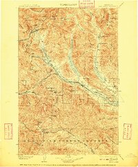
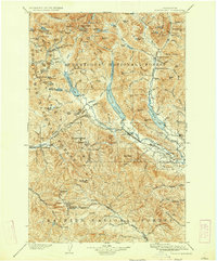
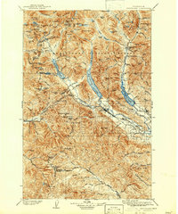
Editions of this 1903 Snoqualmie Map
6 editions found
Other maps of this area

1897 · Mount Stuart
USGS Topo · 1:125,000

1899 · Ellensburg
USGS Topo · 1:125,000

1901 · Ellensburg
USGS Topo · 1:125,000

1901 · Chiwaukum
USGS Topo · 1:125,000

1901 · Snoqualmie Pass
USGS Topo · 1:125,000

1902 · Mount Aix
USGS Topo · 1:125,000

1902 · Skykomish
USGS Topo · 1:125,000

1902 · Mount Stuart
USGS Topo · 1:125,000

1903 · Snoqualmie
USGS Topo · 1:125,000

1904 · Mt Aix
USGS Topo · 1:125,000