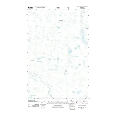
2011 Map of Snoqualmie Lake
USGS Topo · Published 2011About this map
Snoqualmie Lake and its surrounding high-altitude terrain define this 2011 survey of the Cascades in King County. The landscape is characterized by a dense network of alpine water bodies, including the sprawling Lake Dorothy and smaller basins such as Myrtle Lake, Lake Pugsley, and the distinctively named Charlie Brown Lake. Drainage patterns are shaped by the East Fork Miller River and West Fork Miller River, which descend from ridges marked by prominent summits like Garfield Mountain, Treen Peak, and Dog Mountain.
Find a feature on this map
45 named features on this map. Tap any name to fly to it.
Don’t see what you’re looking for? This feature index may not catch every label — zoom into the map to look around manually.
Map Details
Editions of this 2011 Snoqualmie Lake Map
This is the sole edition of this map. No revisions or reprints were ever made.
Other maps of this area

1901 · Snoqualmie Pass
USGS Topo · 1:125,000

1902 · Skykomish
USGS Topo · 1:125,000

1903 · Snoqualmie
USGS Topo · 1:125,000

1905 · Skykomish
USGS Topo · 1:125,000

1913 · Cedar Lake
USGS Topo · 1:125,000

1921 · Sultan
USGS Topo · 1:125,000

1923 · Sultan
USGS Topo · 1:125,000

1957 · Wenatchee
USGS Topo · 1:250,000

1960 · Mount Si
USGS Topo · 1:62,500

1960 · Bandera
USGS Topo · 1:62,500