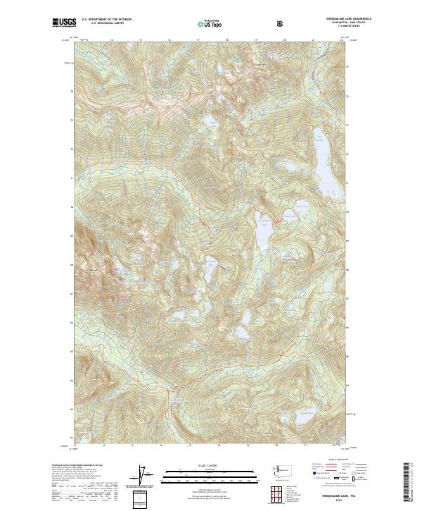
2023 Map of Snoqualmie Lake
USGS Topo · Published 2023About this map
The Alpine Lakes Wilderness defines this high-elevation landscape within the Snoqualmie National Forest, where a network of trails links numerous glacial basins. Primary access routes like the Snoqualmie Lake Trl and Lake Dorothy Trl navigate the steep drainages of the Taylor River and East Fork Miller River. The map highlights a series of significant water bodies, including the namesake Snoqualmie Lake and the expansive Lake Dorothy, punctuated by dramatic drops such as Otter Falls and Florence Falls. Peaks such as Garfield Mtn and Cascade Mtn tower over smaller, named basins like Charlie Brown Lake and Lunker Lake. The southern portion of the map is protected as the Middle Fork Snoqualmie Wild and Scenic River, reflecting a modern emphasis on preserving the corridor's hydrological and ecological character.
Find a feature on this map
76 named features on this map. Tap any name to fly to it.
Don’t see what you’re looking for? This feature index may not catch every label — zoom into the map to look around manually.
Map Details
Editions of this 2023 Snoqualmie Lake Map
This is the sole edition of this map. No revisions or reprints were ever made.
Other maps of this area

1901 · Snoqualmie Pass
USGS Topo · 1:125,000

1902 · Skykomish
USGS Topo · 1:125,000

1903 · Snoqualmie
USGS Topo · 1:125,000

1905 · Skykomish
USGS Topo · 1:125,000

1913 · Cedar Lake
USGS Topo · 1:125,000

1921 · Sultan
USGS Topo · 1:125,000

1923 · Sultan
USGS Topo · 1:125,000

1957 · Wenatchee
USGS Topo · 1:250,000

1960 · Mount Si
USGS Topo · 1:62,500

1960 · Bandera
USGS Topo · 1:62,500