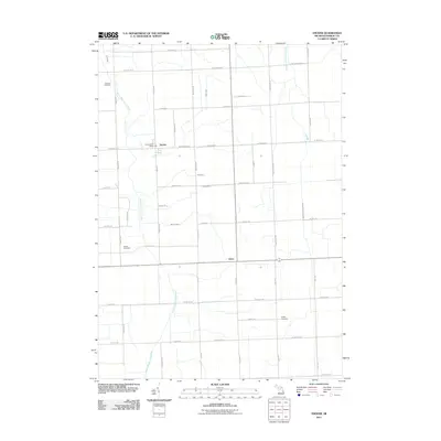
2011 Map of Snover
USGS Topo · Published 2011About this map
Snover and Elmer anchor this agricultural landscape in Sanilac County, where the grid of rural roads is defined by the winding paths of the South Branch Cass River and Middle Branch Cass River. The settlement at Snover serves as a local hub, featuring the Snover Post Office at the intersection of Main St and Washington St. This 2011 survey illustrates a mature drainage network essential for the region's farming heritage, including the Kirby Drain, Temple Drain, and Tank Drain which feed into the larger river branches. Genealogists will find several burial grounds across the township, including Moore Cemetery along Moore Rd, Johnson Cemetery to the northwest, and Hyslop Cemetery near Raines Rd. The map detail captures the intersection of natural waterways like Beaver Creek with a precise road system that has supported this community for generations.
Find a feature on this map
48 named features on this map. Tap any name to fly to it.
Don’t see what you’re looking for? This feature index may not catch every label — zoom into the map to look around manually.
Map Details
Editions of this 2011 Snover Map
This is the sole edition of this map. No revisions or reprints were ever made.
Other maps of this area

1954 · Flint
USGS Topo · 1:250,000

1958 · Flint
USGS Topo · 1:250,000

1963 · Snover
USGS Topo · 1:24,000

1963 · Sandusky
USGS Topo · 1:24,000

1963 · Peck
USGS Topo · 1:24,000

1963 · Juhl
USGS Topo · 1:24,000

1963 · Marlette
USGS Topo · 1:24,000

1963 · Palms
USGS Topo · 1:24,000

1963 · Shabbona
USGS Topo · 1:24,000
1963 · Decker
USGS Topo · 1:24,000