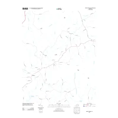
2013 Map of Snow Creek
USGS Topo · Published 2013About this map
Figsboro anchors the southwestern corner of this Virginia landscape, where the foothills of the Blue Ridge meet the Piedmont. The terrain is defined by a series of prominent summits, including Fork Mountain, Blue Mountain, and Toms Knob, which dictate the winding paths of rural routes like Colonel Lee Rd and Sutton Hollow Rd. This area reflects a quiet agricultural and water-management legacy, evidenced by the Twin Oaks Dairy Farm and the significant reach of the Martinsville Reservoir and Reservoir Number 3.
Find a feature on this map
83 named features on this map. Tap any name to fly to it.
Don’t see what you’re looking for? This feature index may not catch every label — zoom into the map to look around manually.
Map Details
Editions of this 2013 Snow Creek Map
This is the sole edition of this map. No revisions or reprints were ever made.
Other maps of this area

1922 · Callands
USGS Topo · 1:48,000

1924 · Martinsville
USGS Topo · 1:48,000

1924 · Draper
USGS Topo · 1:48,000

1924 · Callands
USGS Topo · 1:62,500

1925 · Rocky Mount
USGS Topo · 1:48,000

1926 · Martinsville
USGS Topo · 1:62,500

1926 · Draper
USGS Topo · 1:62,500

1927 · Rocky Mount
USGS Topo · 1:62,500

1927 · Martinsville
USGS Topo · 1:62,500

1944 · Martinsville
USGS Topo · 1:62,500