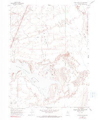
1968 Map of Snow Water Lake
USGS Topo · Published 1990About this map
Clover Valley dominates this high-desert landscape in northeastern Nevada, where the expansive shoreline of Snow Water Lake reveals the region's complex hydrology. The map illustrates a network of seasonal watercourses and drainage features, including the meandering path of The Slough and multiple branches of Johnson Creek, one of which is specifically noted as a depression. These intermittent flows emerge from the surrounding highlands, such as Black Ridge, and terminate in the terminal lake basin.
Find a feature on this map
11 named features on this map. Tap any name to fly to it.
Don’t see what you’re looking for? This feature index may not catch every label — zoom into the map to look around manually.
Map Details
Editions of this 1968 Snow Water Lake Map
2 editions found
Other maps of this area

1935 · Halleck
USGS Topo · 1:125,000

1953 · Spruce Mountain
USGS Topo · 1:62,500

1955 · Elko
USGS Topo · 1:250,000

1958 · Elko
USGS Topo · 1:250,000

1962 · Elko
USGS Topo · 1:250,000

1965 · Elko
USGS Topo · 1:250,000

1968 · Snow Water Lake
USGS Topo · 1:24,000

1968 · Ventosa
USGS Topo · 1:24,000
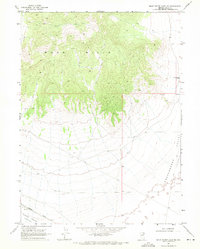
1968 · Snow Water Lake NE
USGS Topo · 1:24,000
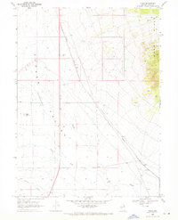
1968 · Tobar
USGS Topo · 1:24,000