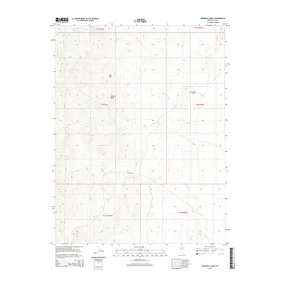
2014 Map of Snowball Ranch
USGS Topo · Published 2014About this map
Snowball Ranch serves as the central landmark for this arid corner of Nye County, where life and geography are dictated by the scarce water sources emerging from the basin and range. The landscape is defined by the sharp elevations of the Antelope Range and the prominent Bills Peak, which watch over a complex network of drainages and seasonal watercourses. These desert springs, including Wild Indian Spring, Rock Spring, and Pine Spring, represent the vital points of human and animal habitation in a region where names like Moonshine Cr and Cottonwood Canyon hint at the rugged character of the Nevada interior. The map illustrates a high-desert environment where early ranching infrastructure relied on the natural flow of Snowball Cr and the N Fork Willow Cr to sustain operations in a vast, open topography.
Find a feature on this map
23 named features on this map. Tap any name to fly to it.
Don’t see what you’re looking for? This feature index may not catch every label — zoom into the map to look around manually.
Map Details
Editions of this 2014 Snowball Ranch Map
This is the sole edition of this map. No revisions or reprints were ever made.
Other maps of this area

1926 · Roberts Mountains
USGS Topo · 1:250,000

1929 · Roberts Mountains
USGS Topo · 1:250,000

1955 · Millett
USGS Topo · 1:250,000

1956 · Cockalorum Wash
USGS Topo · 1:62,500

1956 · Horse Heaven Mtn
USGS Topo · 1:62,500

1956 · Tonopah
USGS Topo · 1:250,000

1959 · Tonopah
USGS Topo · 1:250,000

1959 · Millett
USGS Topo · 1:250,000

1962 · Tonopah
USGS Topo · 1:250,000

1968 · Pritchards Station
USGS Topo · 1:62,500