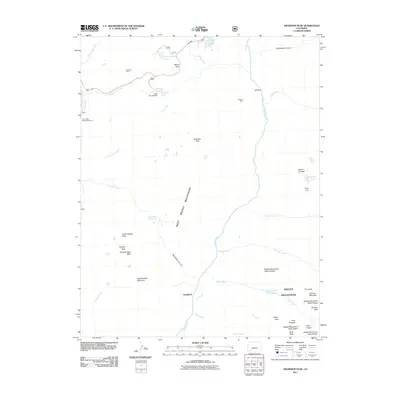
2011 Map of Snowdon Peak
USGS Topo · Published 2011About this map
Needleton sits along the Animas River at the heart of this high-altitude landscape, where deep drainages like Watertank Canyon and Tenmile Creek carve through the West Needle Mountains. The presence of the Elk Park Mine and Andrus Mine underscores a history of mineral exploration in the shadow of giants like Snowdon Peak and Pigeon Peak. Near the northern border, transportation and recreation converge at Molas Pass, a significant crossing point between Molas Lake and Little Molas Lake. The map reveals a complex network of high-country water features, from the Duck Slough Dam at Andrews Lake to the alpine Ruby Lake and Garfield Lake. This high-altitude terrain is defined by its numbered summits and named peaks, including Needle Mountains Peak Fourteen and The Index, illustrating the challenging geography that historically dictated movement through the San Juan region.
Find a feature on this map
51 named features on this map. Tap any name to fly to it.
Don’t see what you’re looking for? This feature index may not catch every label — zoom into the map to look around manually.
Map Details
Editions of this 2011 Snowdon Peak Map
This is the sole edition of this map. No revisions or reprints were ever made.
Other maps of this area

1897 · Telluride
USGS Topo · 1:62,500

1897 · Silverton
USGS Topo · 1:62,500

1898 · Engineer Mountain
USGS Topo · 1:62,500

1900 · Engineer Mountain
USGS Topo · 1:62,500

1900 · Needle Mountains
USGS Topo · 1:62,500

1901 · Silverton
USGS Topo · 1:62,500

1902 · Needle Mountains
USGS Topo · 1:62,500

1902 · Silverton
USGS Topo · 1:62,500

1904 · Telluride
USGS Topo · 1:62,500

1908 · Engineer Mountain
USGS Topo · 1:62,500