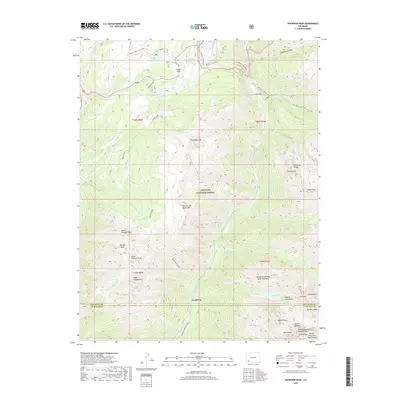
2019 Map of Snowdon Peak
USGS Topo · Published 2019About this map
The Animas River corridor near Needleton serves as a central artery through this high-altitude landscape, where the Durango & Silverton Narrow Gauge RR tracks follow the river's path through the deep valley. This 2019 survey documents the complex topography of the San Juan National Forest, highlighting the dramatic vertical rise from the river basin to prominent summits like Snowdon Peak, Twilight Peak, and Pigeon Peak. The area is a nexus of alpine recreation and passage, centered on Molas Pass and the Molas - Co Trail. Numerous high-country water bodies, including Andrews Lake, Molas Lake, and Crater Lake, are scattered across the terrain, reflecting the glaciated history of the West Needle Mountains and the Grenadier Range. The map captures the intersection of early industrial rail engineering with modern forest management and backcountry trails.
Find a feature on this map
51 named features on this map. Tap any name to fly to it.
Don’t see what you’re looking for? This feature index may not catch every label — zoom into the map to look around manually.
Map Details
Editions of this 2019 Snowdon Peak Map
This is the sole edition of this map. No revisions or reprints were ever made.
Other maps of this area

1897 · Telluride
USGS Topo · 1:62,500

1897 · Silverton
USGS Topo · 1:62,500

1898 · Engineer Mountain
USGS Topo · 1:62,500

1900 · Engineer Mountain
USGS Topo · 1:62,500

1900 · Needle Mountains
USGS Topo · 1:62,500

1901 · Silverton
USGS Topo · 1:62,500

1902 · Needle Mountains
USGS Topo · 1:62,500

1902 · Silverton
USGS Topo · 1:62,500

1904 · Telluride
USGS Topo · 1:62,500

1908 · Engineer Mountain
USGS Topo · 1:62,500