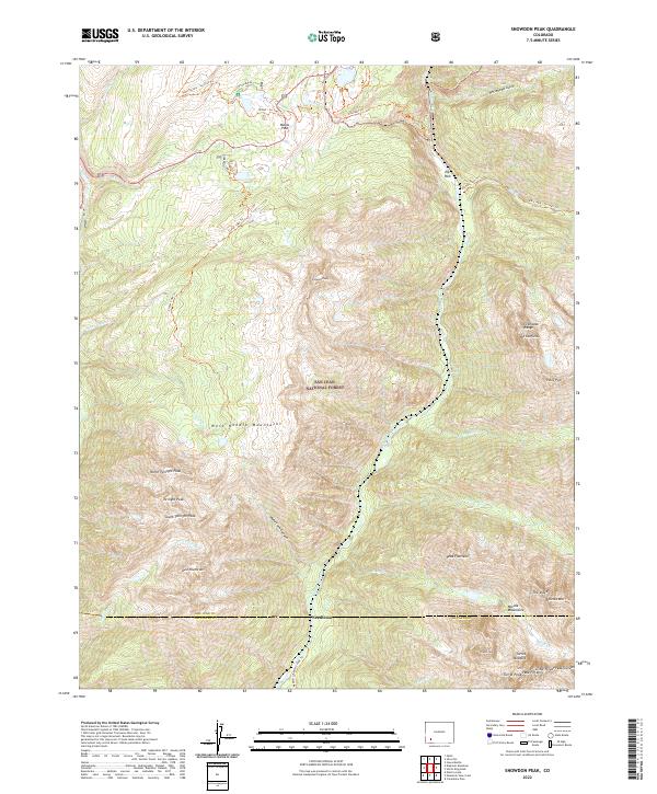
2022 Map of Snowdon Peak
USGS Topo · Published 2022About this map
Needleton sits along the Animas River at the heart of this high-elevation landscape, where the San Juan and La Plata county lines meet. This modern survey illustrates the convergence of several major mountain sub-ranges, including the Grenadier Range to the northeast and the West Needle Mountains to the west. The rugged geography is defined by prominent summits such as Snowdon Peak, Mt Garfield, and the cluster of peaks around Twilight Peak. High-altitude water bodies like Andrews Lake and Crater Creek feed into narrow corridors like Watertank Canyon.
Find a feature on this map
50 named features on this map. Tap any name to fly to it.
Don’t see what you’re looking for? This feature index may not catch every label — zoom into the map to look around manually.
Map Details
Editions of this 2022 Snowdon Peak Map
This is the sole edition of this map. No revisions or reprints were ever made.
Other maps of this area

1897 · Telluride
USGS Topo · 1:62,500

1897 · Silverton
USGS Topo · 1:62,500

1898 · Engineer Mountain
USGS Topo · 1:62,500

1900 · Engineer Mountain
USGS Topo · 1:62,500

1900 · Needle Mountains
USGS Topo · 1:62,500

1901 · Silverton
USGS Topo · 1:62,500

1902 · Needle Mountains
USGS Topo · 1:62,500

1902 · Silverton
USGS Topo · 1:62,500

1904 · Telluride
USGS Topo · 1:62,500

1908 · Engineer Mountain
USGS Topo · 1:62,500