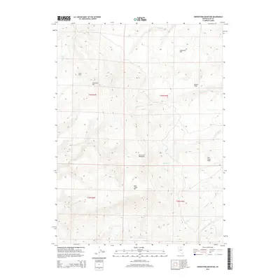
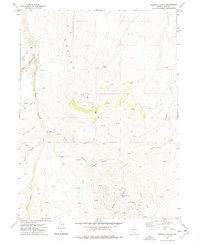
2015 Map of Snowstorm Mountain
USGS Topo · Published 2015About this map
Snowstorm Mountains dominate this high-desert landscape in northern Elko County, where a complex network of seasonal drainages and named peaks defines the terrain. The presence of the S Fork Little Humboldt River in the southeast corner indicates the primary watershed for the region, fed by numerous creeks including Sheep Cr and Jake Cr. The map reveals a land structured by elevation, from the prominent Snowstorm Mtn and Kelly Creek Mtn to the flatter expanses of Snowstorm Flat. Distinctive landmarks like Crows Nest and Winters Ridge suggest the importance of topographic orientation in this remote Nevada range. The mapping of Mud Lake and various watercourses like Winters Cr and Pole Cr illustrates the hydrology of a landscape where water is the primary sculptor of the basin and range geology.
Find a feature on this map
21 named features on this map. Tap any name to fly to it.
Don’t see what you’re looking for? This feature index may not catch every label — zoom into the map to look around manually.
Map Details
Editions of this 2015 Snowstorm Mountain Map
This is the sole edition of this map. No revisions or reprints were ever made.
Other maps of this area

1882 · Paradise
USGS Topo · 1:250,000

1893 · Paradise
USGS Topo · 1:250,000

1955 · McDermitt
USGS Topo · 1:250,000

1959 · McDermitt
USGS Topo · 1:250,000
1965 · Jake Creek Mtn
USGS Topo · 1:24,000
1965 · Midas
USGS Topo · 1:24,000

1973 · Snowstorm Mtn
USGS Topo · 1:24,000
1973 · Rodear Flat
USGS Topo · 1:24,000

1973 · Haystack Peak
USGS Topo · 1:24,000
1977 · Oregon Canyon
USGS Topo · 1:24,000