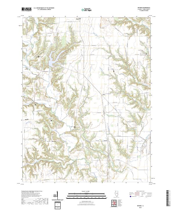
2024 Map of Snyder
USGS Topo · Published 2024About this map
Lincoln Trail State Park anchors this central Illinois landscape, centered around the Lincoln Trail State Park Lake. The area is characterized by a dense network of creek systems, including Mill Creek, Sugar Creek, and Partridge Creek, which carve through the terrain near the small settlements of Snyder, Choctaw, and Ernst. These communities are connected by a grid of rural routes such as N Grand Turn Rd and CO Hwy 22.
Find a feature on this map
71 named features on this map. Tap any name to fly to it.
Don’t see what you’re looking for? This feature index may not catch every label — zoom into the map to look around manually.
Map Details
Editions of this 2024 Snyder Map
This is the sole edition of this map. No revisions or reprints were ever made.
Other maps of this area

1932 · Marshall
USGS Topo · 1:62,500

1936 · Casey
USGS Topo · 1:48,000

1937 · Marshall
USGS Topo · 1:62,500

1942 · Fairbanks
USGS Topo · 1:24,000

1942 · Hutton
USGS Topo · 1:24,000

1942 · Dennison
USGS Topo · 1:24,000

1942 · Casey
USGS Topo · 1:62,500

1943 · Casey
USGS Topo · 1:62,500

1952 · Fairbanks
USGS Topo · 1:24,000
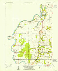
1952 · Hutton
USGS Topo · 1:24,000