2021 Map of Snyder
USGS Topo · Published 2021About this map
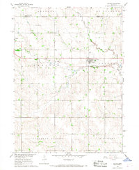
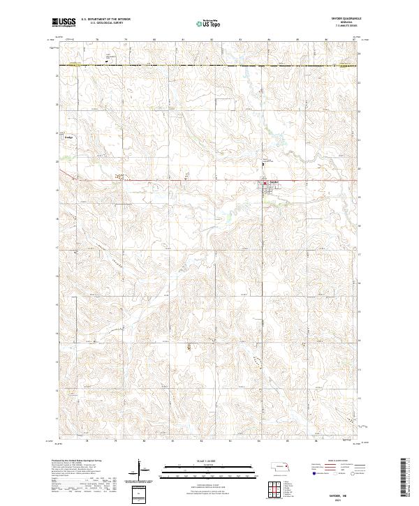
Snyder and the eastern edge of Dodge anchor this agricultural landscape along the Dodge County and Cuming County line. The terrain is defined by the gentle drainage of Pebble Creek, which meanders through a grid of section roads that have structured the region's farming economy for generations. This 2021 survey highlights the enduring presence of local religious landmarks, including Saint Leos Catholic Cemetery and Saint Wenceslaus Cemetery, which serve as vital touchstones for genealogical research in these Nebraska communities. The map captures a rural environment where the Public Land Survey System grid is meticulously maintained, showing the precise intersection of range lines and county boundaries that continue to define property and civic life in the Elkhorn River valley region.
Find a feature on this map
40 named features on this map. Tap any name to fly to it.
Don’t see what you’re looking for? This feature index may not catch every label — zoom into the map to look around manually.
Map Details
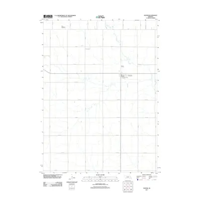
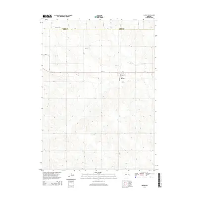
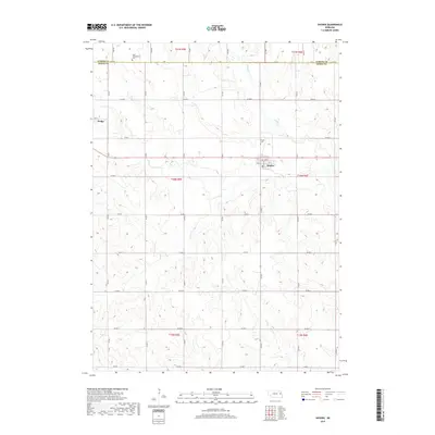
Editions of this 2021 Snyder Map
This is the sole edition of this map. No revisions or reprints were ever made.
Historical Maps of Dodge Through Time
5 maps found