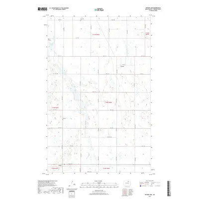
2017 Map of Snyder Lake
USGS Topo · Published 2017About this map
Mauvais Coulee meanders through this portion of Towner County, North Dakota, defining a landscape marked by glacial depressions and intermittent water bodies. The terrain is characterized by a high density of small prairie potholes and larger features such as Snyder Lake and Brumba Pool. Rural life in this northern plains region is centered on dispersed agricultural settlements like Crocus and Arndt, which are linked by a strict grid of section-line roads such as 84th St NE and 90th St NE. Evidence of early community foundations is found in the presence of Brumbaugh Cem and Zion Cem, which serve as vital landmarks for those researching the local family histories of these township sections.
Find a feature on this map
25 named features on this map. Tap any name to fly to it.
Don’t see what you’re looking for? This feature index may not catch every label — zoom into the map to look around manually.
Map Details
Editions of this 2017 Snyder Lake Map
This is the sole edition of this map. No revisions or reprints were ever made.
Other maps of this area

1953 · Devils Lake
USGS Topo · 1:250,000

1956 · Devils Lake
USGS Topo · 1:250,000

1962 · Egeland SE
USGS Topo · 1:24,000

1962 · Egeland SW
USGS Topo · 1:24,000

1962 · Egeland
USGS Topo · 1:24,000

1962 · Snyder Lake
USGS Topo · 1:24,000

1970 · Hansboro SE
USGS Topo · 1:24,000

1970 · Rock Lake
USGS Topo · 1:24,000

1970 · Rock Lake SE
USGS Topo · 1:24,000

1971 · Considine
USGS Topo · 1:24,000