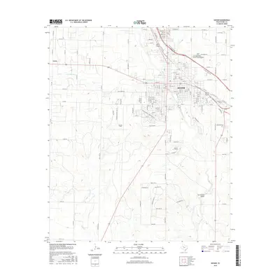
2016 Map of Snyder
USGS Topo · Published 2016About this map
Snyder serves as the focal point of this Scurry County landscape, where the urban grid meets the winding drainages of Deep Creek and its southern fork. The map details the community's mid-decade infrastructure, including the campus of Western Texas College and the municipal grounds at Winston Field. Beyond the city limits, the terrain becomes increasingly complex, marked by the dramatic descent into Hell Roaring Hollow and the scattered rural settlements like Union to the northwest. This 2016 record captures the specific road network of the era, from the established highway corridors of US-180 and US-84 to local names like Gary Brewer Rd and Towle Park Rd S. Genealogists may find particular value in the placement of the Snyder Cemetery, situated near the confluence of local ranch roads and major thoroughfares.
Find a feature on this map
160 named features on this map. Tap any name to fly to it.
Don’t see what you’re looking for? This feature index may not catch every label — zoom into the map to look around manually.
Map Details
Editions of this 2016 Snyder Map
This is the sole edition of this map. No revisions or reprints were ever made.
Other maps of this area

1951 · Ira
USGS Topo · 1:24,000

1951 · Dunn
USGS Topo · 1:24,000

1952 · Snyder
USGS Topo · 1:24,000

1952 · China Grove
USGS Topo · 1:24,000

1952 · Ira NE
USGS Topo · 1:24,000

1952 · Hermleigh
USGS Topo · 1:24,000

1954 · Lloyd Mountain
USGS Topo · 1:24,000

1954 · Dermott
USGS Topo · 1:24,000

1954 · Brand
USGS Topo · 1:24,000

1954 · Big Spring
USGS Topo · 1:250,000