1906 Map of Socorro
USGS Topo · Published 1948About this map
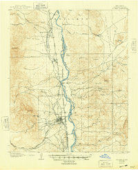
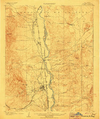
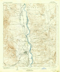
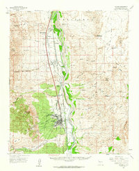
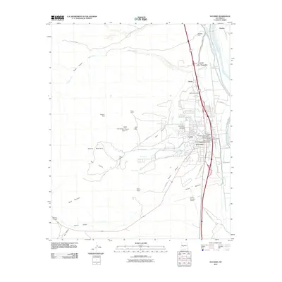
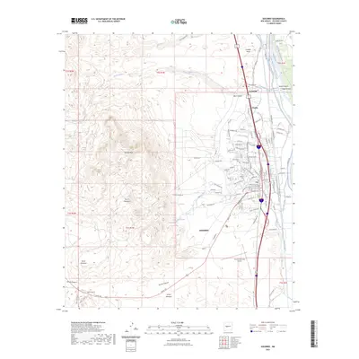
Socorro and the central Rio Grande Valley are shown here in the early twentieth century, an era when the region's economy was anchored by mining and nascent industry. The Atchison Topeka and Santa Fe Railway runs parallel to the Rio Grande, facilitating the movement of ore from operations like the Dewey Mine and Torrance Mine located near Socorro Pk. The presence of the School of Mines underscores the city's importance as a center for geological education and technical development in the territory.
Find a feature on this map
60 named features on this map. Tap any name to fly to it.
Don’t see what you’re looking for? This feature index may not catch every label — zoom into the map to look around manually.
Map Details
Editions of this 1906 Socorro Map
3 editions found
Historical Maps of Socorro Through Time
13 maps found
1906 Socorro
Socorro County, NM
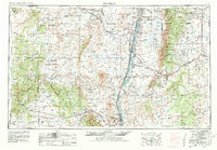
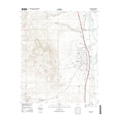
1954 Socorro
Socorro County, NM

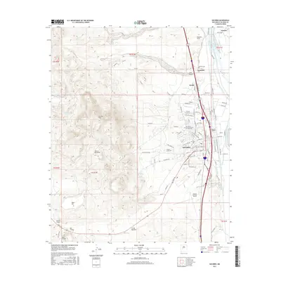
1958 Socorro
Socorro County, NM
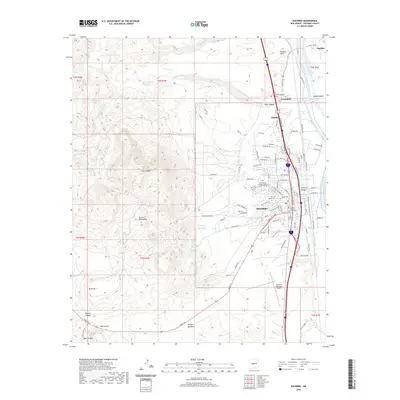
1959 Socorro
Socorro County, NM
1959 Socorro
Socorro County, NM

1962 Socorro
Socorro County, NM
1979 Socorro
Socorro County, NM
1979 Socorro
Socorro County, NM
2010 Socorro
Socorro County, NM
2013 Socorro
Socorro County, NM
2017 Socorro
Socorro County, NM
2020 Socorro
Socorro County, NM
2023 Socorro
Socorro County, NM