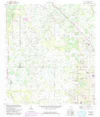
1975 Map of Socrum
USGS Topo · Published 1993About this map
The Upper Hillsborough State Wildlife Management Area dominates the western landscape of this mid-1970s survey, where the Hillsborough River and its swampy tributaries meet the Pasco and Polk County line. The settlement of Socrum sits at a crossroads in the east, characterized by a pattern of small lakes and agricultural roads. Farther south, the town of Kathleen appears near the CSX rail line, which cuts diagonally through the terrain.
Find a feature on this map
35 named features on this map. Tap any name to fly to it.
Don’t see what you’re looking for? This feature index may not catch every label — zoom into the map to look around manually.
Map Details
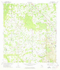
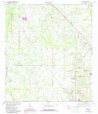
Editions of this 1975 Socrum Map
Other maps of this area

1944 · Plant City
USGS Topo · 1:31,680

1944 · Providence
USGS Topo · 1:31,680

1944 · Lakeland
USGS Topo · 1:31,680

1944 · Antioch
USGS Topo · 1:31,680

1944 · Socrum
USGS Topo · 1:31,680

1947 · Zephyrhills
USGS Topo · 1:24,000

1955 · Plant City
USGS Topo · 1:250,000

1955 · Orlando
USGS Topo · 1:250,000

1957 · Orlando
USGS Topo · 1:250,000

1958 · Orlando
USGS Topo · 1:250,000