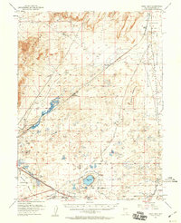
1951 Map of Soda Lake
USGS Topo · Published 1960About this map
The Hot Springs Mountains dominate the northern landscape of this Churchill County survey, giving way to the expansive Alkali Flat and a network of volcanic craters and ephemeral lake beds. This mid-century view captures a transition from ancient travel routes to modern rail infrastructure. The Old California Trail is traced across the desert floor, intersecting with the Southern Pacific railroad line which facilitated transit through sidings like Upsal Siding and Falais Siding.
Find a feature on this map
34 named features on this map. Tap any name to fly to it.
Don’t see what you’re looking for? This feature index may not catch every label — zoom into the map to look around manually.
Map Details
Editions of this 1951 Soda Lake Map
3 editions found
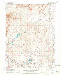
Other maps of this area

1890 · Wadsworth
USGS Topo · 1:125,000

1891 · Wabuska
USGS Topo · 1:125,000

1892 · Wadsworth
USGS Topo · 1:125,000

1894 · Wadsworth
USGS Topo · 1:125,000

1894 · Wabuska
USGS Topo · 1:125,000

1908 · Carson Sink
USGS Topo · 1:250,000

1910 · Carson Sink
USGS Topo · 1:250,000

1950 · Stillwater
USGS Topo · 1:62,500

1951 · Carson Lake
USGS Topo · 1:62,500

1951 · Soda Lake
USGS Topo · 1:62,500