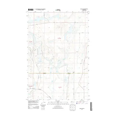
2013 Map of Soda Lake
USGS Topo · Published 2013About this map
Potholes Reservoir and its associated waterways dominate this landscape at the intersection of Grant and Adams counties. This 2013 survey highlights a complex lacustrine environment where the Columbia Basin Project's irrigation infrastructure has shaped the terrain into a network of interconnected water bodies like Soda Lake, Hampton Lake, and Long Lake. The land management pattern is evident in the transition from the aquatic expanses of the reservoir to the managed agricultural operations, notably the Bar E Dairy situated in the southeastern corner near the Jackass Mtn foothills.
Find a feature on this map
52 named features on this map. Tap any name to fly to it.
Don’t see what you’re looking for? This feature index may not catch every label — zoom into the map to look around manually.
Map Details
Editions of this 2013 Soda Lake Map
This is the sole edition of this map. No revisions or reprints were ever made.
Other maps of this area

1912 · Moses Lake
USGS Topo · 1:62,500

1923 · Corfu
USGS Topo · 1:62,500

1923 · Wheeler
USGS Topo · 1:62,500

1924 · Othello
USGS Topo · 1:62,500

1925 · Wheeler
USGS Topo · 1:62,500

1951 · Corfu
USGS Topo · 1:62,500

1953 · Walla Walla
USGS Topo · 1:250,000

1953 · Ritzville
USGS Topo · 1:250,000

1954 · Bruce
USGS Topo · 1:24,000

1954 · Warden
USGS Topo · 1:24,000