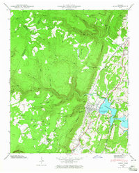
1946 Map of Soddy
USGS Topo · Published 1965About this map
Chickamauga Lake dominates the southeastern quadrant of this 1946 field study, reflecting the Tennessee Valley Authority’s impact on the Hamilton County landscape. The settlement of Soddy serves as a hub, positioned where the industrial influence of the Southern Railroad meets the rising waters of the reservoir. A clear geographic divide is evident at the Cumberland Escarpment, which separates the developed valleys from the high, wooded plateau of Walden Ridge.
Find a feature on this map
95 named features on this map. Tap any name to fly to it.
Don’t see what you’re looking for? This feature index may not catch every label — zoom into the map to look around manually.
Map Details
Editions of this 1946 Soddy Map
2 editions found
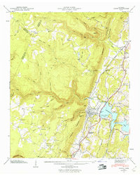
Other maps of this area

1888 · Chattanooga
USGS Topo · 1:125,000

1893 · Chattanooga
USGS Topo · 1:125,000

1935 · Daisy
USGS Topo · 1:24,000

1935 · Soddy
USGS Topo · 1:24,000

1935 · Snow Hill
USGS Topo · 1:24,000

1935 · Brayton
USGS Topo · 1:24,000

1935 · Mount Airy
USGS Topo · 1:24,000

1935 · Soddy Island
USGS Topo · 1:24,000
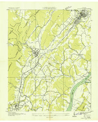
1935 · Graysville
USGS Topo · 1:24,000

1936 · Henson Gap
USGS Topo · 1:24,000