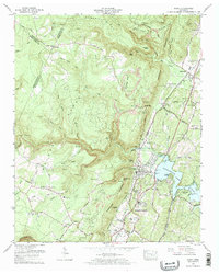
1972 Map of Soddy
USGS Topo · Published 1974About this map
Walden Ridge and the Cumberland Escarpment define the geography of this Tennessee landscape, where the plateau drops sharply toward the waters of Chickamauga Lake. In the early 1970s, the industrial legacy of the region is clearly visible through numerous strip mines and strip mines that follow the contours of the ridges above Soddy-Daisy. This map captures a community in transition, showing the newly incorporated Soddy-Daisy city boundary alongside traditional rural landmarks like the Mowbray School and Mowbray Church.
Find a feature on this map
63 named features on this map. Tap any name to fly to it.
Don’t see what you’re looking for? This feature index may not catch every label — zoom into the map to look around manually.
Map Details
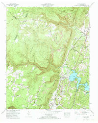
Editions of this 1972 Soddy Map
2 editions found
Other maps of this area

1888 · Chattanooga
USGS Topo · 1:125,000

1893 · Chattanooga
USGS Topo · 1:125,000

1935 · Daisy
USGS Topo · 1:24,000

1935 · Soddy
USGS Topo · 1:24,000

1935 · Snow Hill
USGS Topo · 1:24,000

1935 · Brayton
USGS Topo · 1:24,000

1935 · Mount Airy
USGS Topo · 1:24,000

1935 · Soddy Island
USGS Topo · 1:24,000
1935 · Graysville
USGS Topo · 1:24,000

1936 · Henson Gap
USGS Topo · 1:24,000