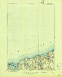
1902 Map of Sodus Bay
USGS Topo · Published 1944About this map
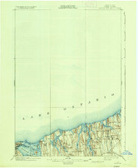
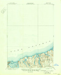
Lake Ontario dominates the northern reaches of this Wayne County shoreline, where a series of bays and inlets define the coastal geography at the turn of the century. The village of Sodus Point serves as a primary anchor, situated near the iconic Big Sodus L.H. and the sand bars of Sodus Bay. This maritime landscape is shaped by the recessed waters of East Bay and Port Bay, separated by drumlins and glacial till that form prominent landmarks like Lake Bluff and Charles Pt.
Find a feature on this map
20 named features on this map. Tap any name to fly to it.
Don’t see what you’re looking for? This feature index may not catch every label — zoom into the map to look around manually.
Map Details
Editions of this 1902 Sodus Bay Map
7 editions found
Other maps of this area

1899 · Palmyra
USGS Topo · 1:62,500

1900 · Oswego
USGS Topo · 1:62,500

1902 · Sodus Bay
USGS Topo · 1:62,500

1902 · Pultneyville
USGS Topo · 1:62,500

1902 · Clyde
USGS Topo · 1:62,500

1902 · Weedsport
USGS Topo · 1:62,500

1902 · Palmyra
USGS Topo · 1:62,500

1943 · Sodus Point
USGS Topo · 1:31,680

1943 · Sodus
USGS Topo · 1:31,680

1943 · Fair Haven
USGS Topo · 1:31,680