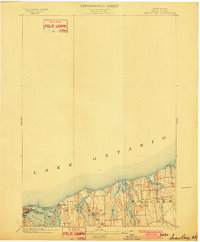
1902 Map of Sodus Bay
USGS Topo · Published 1902About this map
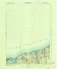
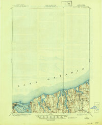
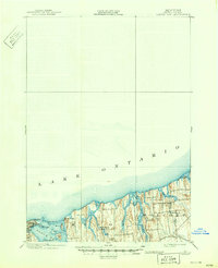
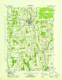
Sodus Bay and the shoreline of Lake Ontario dominate this turn-of-the-century topographic study, which highlights the complex geography of the Wayne County coast. At the entrance to the bay, the Big Sodus L.H. stands near the established settlement of Sodus Point, where Sand Pt. and Charles Pt. define the harbor's mouth. The map reveals a series of distinct drumlins and coastal islands, including Bute I., Islay I., and Arran I., that characterize the glacial landscape of Huron and Wolcott townships.
Find a feature on this map
23 named features on this map. Tap any name to fly to it.
Don’t see what you’re looking for? This feature index may not catch every label — zoom into the map to look around manually.
Map Details
Editions of this 1902 Sodus Bay Map
7 editions found
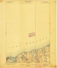
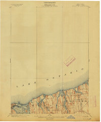
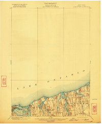
Other maps of this area
1899 · Palmyra
USGS Topo · 1:62,500
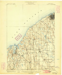
1900 · Oswego
USGS Topo · 1:62,500
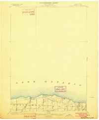
1902 · Pultneyville
USGS Topo · 1:62,500
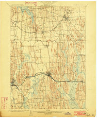
1902 · Clyde
USGS Topo · 1:62,500
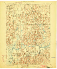
1902 · Weedsport
USGS Topo · 1:62,500
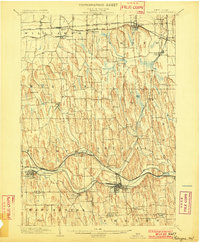
1902 · Palmyra
USGS Topo · 1:62,500
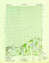
1943 · Sodus Point
USGS Topo · 1:31,680
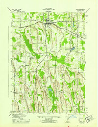
1943 · Sodus
USGS Topo · 1:31,680
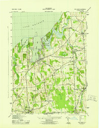
1943 · Fair Haven
USGS Topo · 1:31,680
1943 · Wolcott
USGS Topo · 1:31,680