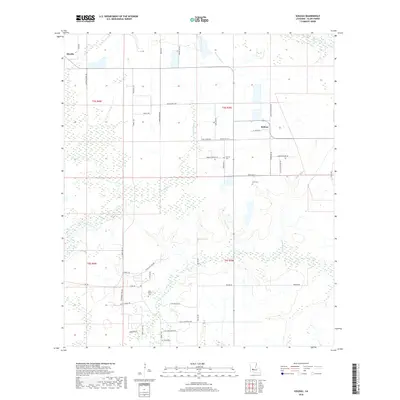
2018 Map of Soileau
USGS Topo · Published 2018About this map
Sonnier Bayou and Cyrus Gully define the low-lying hydrology of this Allen Parish landscape, where agriculture and rural habitation follow a network of parish roads. The settlement of Soileau serves as a central point for the surrounding community, while the edge of Oberlin appears in the northwest. Local family history is rooted in the presence of several burial grounds, including Sonnier Cem near Sonnier Bayou and Cole Cem further south. The map reflects a landscape organized by the Public Land Survey System, with township lines like t5s r3w and t6s r4w dividing the territory. Transportation is dominated by local routes such as Powell Rd and Bel Oil Rd, indicating the importance of local access to the bayous and interior lands. In the southern portion, Saint Peters Cem and Camp Coyote Rd provide additional points of interest for those studying the social and physical geography of this corner of Louisiana.
Find a feature on this map
48 named features on this map. Tap any name to fly to it.
Don’t see what you’re looking for? This feature index may not catch every label — zoom into the map to look around manually.
Map Details
Editions of this 2018 Soileau Map
This is the sole edition of this map. No revisions or reprints were ever made.
Other maps of this area

1947 · Kinder
USGS Topo · 1:31,680

1947 · Fruge Lake
USGS Topo · 1:31,680

1947 · Foley
USGS Topo · 1:31,680

1947 · Oberlin
USGS Topo · 1:31,680

1947 · Pine Chapel
USGS Topo · 1:31,680

1947 · Elton
USGS Topo · 1:31,680

1947 · Bond
USGS Topo · 1:31,680

1947 · Basile
USGS Topo · 1:31,680
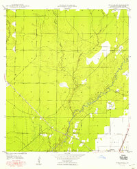
1948 · Pine Chapel
USGS Topo · 1:24,000

1949 · Bayou Blue
USGS Topo · 1:31,680