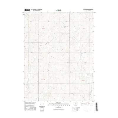
2016 Map of Soldier Creek SE
USGS Topo · Published 2016About this map
Mitchell Cem and Shipsee Cem stand as quiet landmarks within this rural Kansas landscape, documenting the ancestral history of Jackson County. This section of the Great Plains is defined by a dense network of drainage, where headwaters and tributaries feed into larger systems. The terrain is carved by the Little Soldier Cr and the S Br Soldier Cr in the northern reaches, while the southern portion is marked by the winding paths of Walnut Cr and Dutch Cr. The surveyor's grid is preserved through a series of named section roads, such as 174th Rd and 142nd Rd, which provide access to the dispersed farmsteads and agricultural plots that characterize the region's mid-2010s geography. The presence of smaller waterways like James Cr and Big Elm Cr suggests a complex local topography of ridges and draws.
Find a feature on this map
25 named features on this map. Tap any name to fly to it.
Don’t see what you’re looking for? This feature index may not catch every label — zoom into the map to look around manually.
Map Details
Editions of this 2016 Soldier Creek SE Map
This is the sole edition of this map. No revisions or reprints were ever made.
Other maps of this area

1889 · Topeka
USGS Topo · 1:125,000

1894 · Topeka
USGS Topo · 1:125,000

1950 · Kansas City
USGS Topo · 1:250,000

1952 · Rossville
USGS Topo · 1:24,000

1952 · Elmont
USGS Topo · 1:24,000

1952 · Grove
USGS Topo · 1:24,000

1954 · Kansas City
USGS Topo · 1:250,000

1956 · Kansas City
USGS Topo · 1:250,000

1960 · Kansas City
USGS Topo · 1:250,000
1960 · Mayetta
USGS Topo · 1:24,000